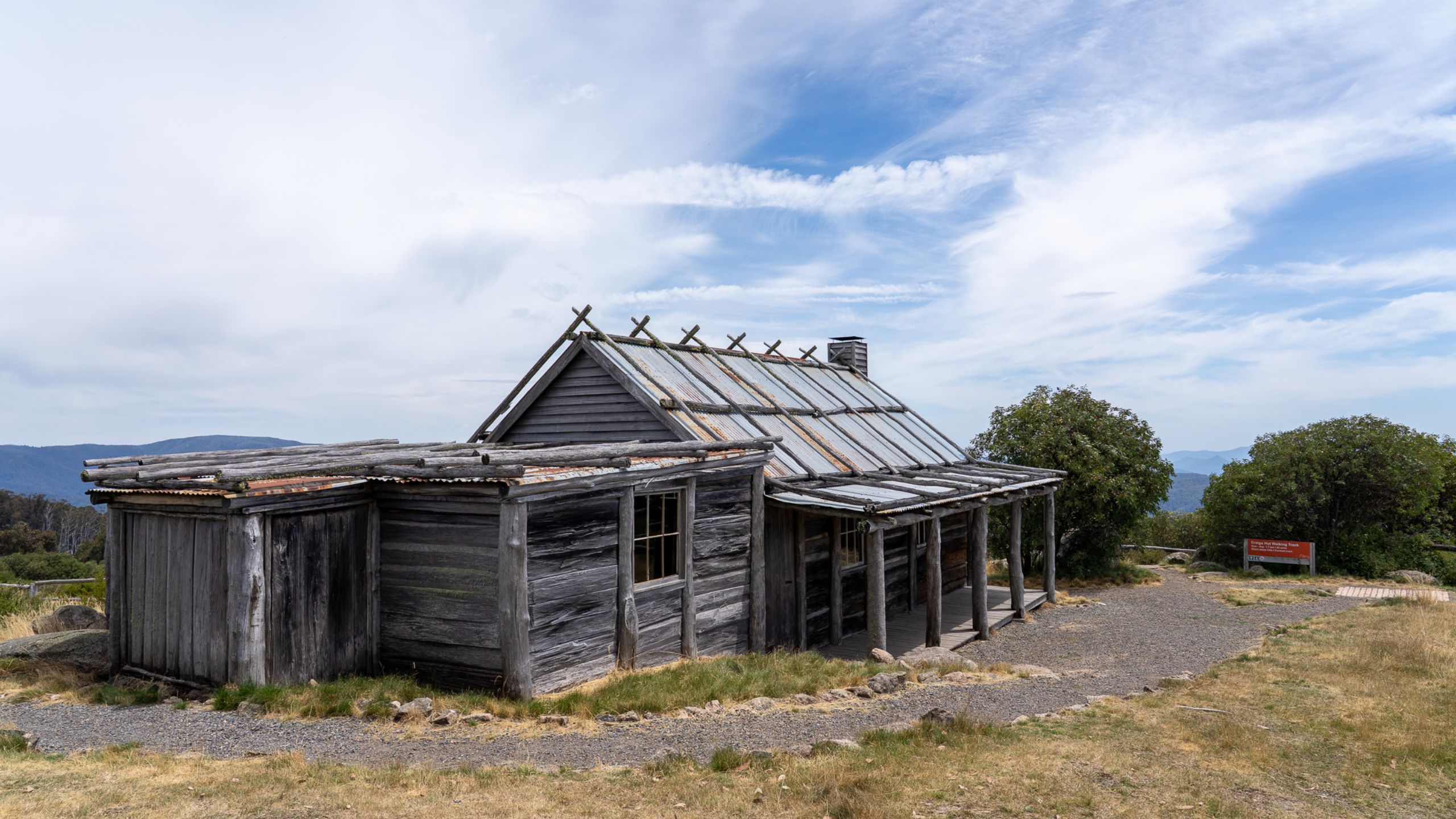
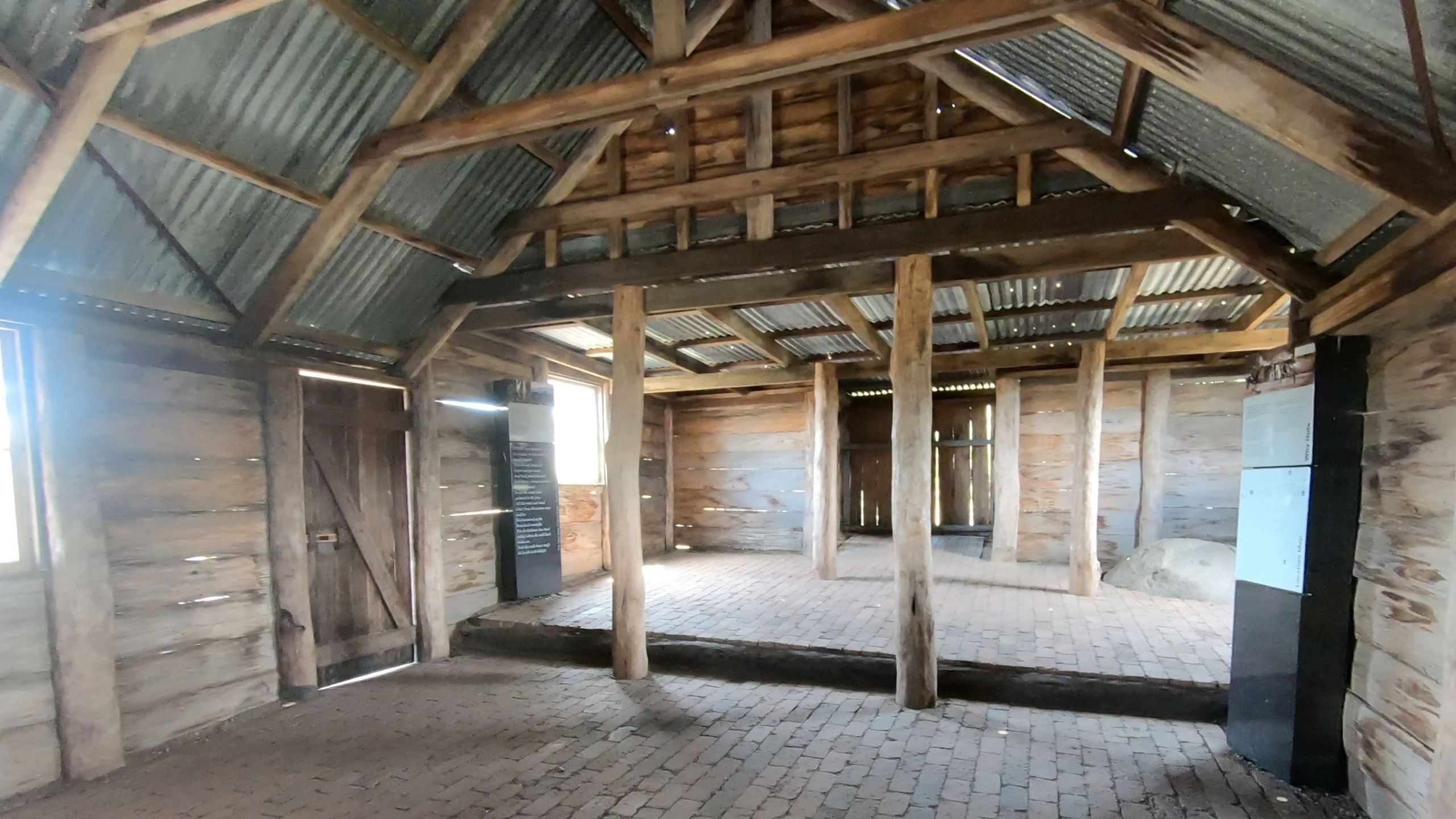
Craig’s Hut, Mt Stirling, Victorian High Country

A visit to Craig’s Hut is a must for anyone exploring the Victorian High Country. Originally built as a set for The Man from Snowy River film, this iconic high-country landmark offers some of the most breathtaking views of the Victorian High Country. Whilst the original Craig’s Hut was destroyed by a bushfire in 2006, it was rebuilt and reopened in 2008. It is one of the region’s most photographed locations, and it’s easy to see why landscape photographers are drawn here.
How to get to Craig’s Hut
To reach Craig’s Hut, your journey starts in the charming town of Mansfield. The drive is about 55km, follow the signs out of Mansfield to Mount Buller, and after passing through Mirrimbah, take a left turn onto Mount Stirling Road, just after the Mount Buller Entry Station – (there is no charge outside the snow season).
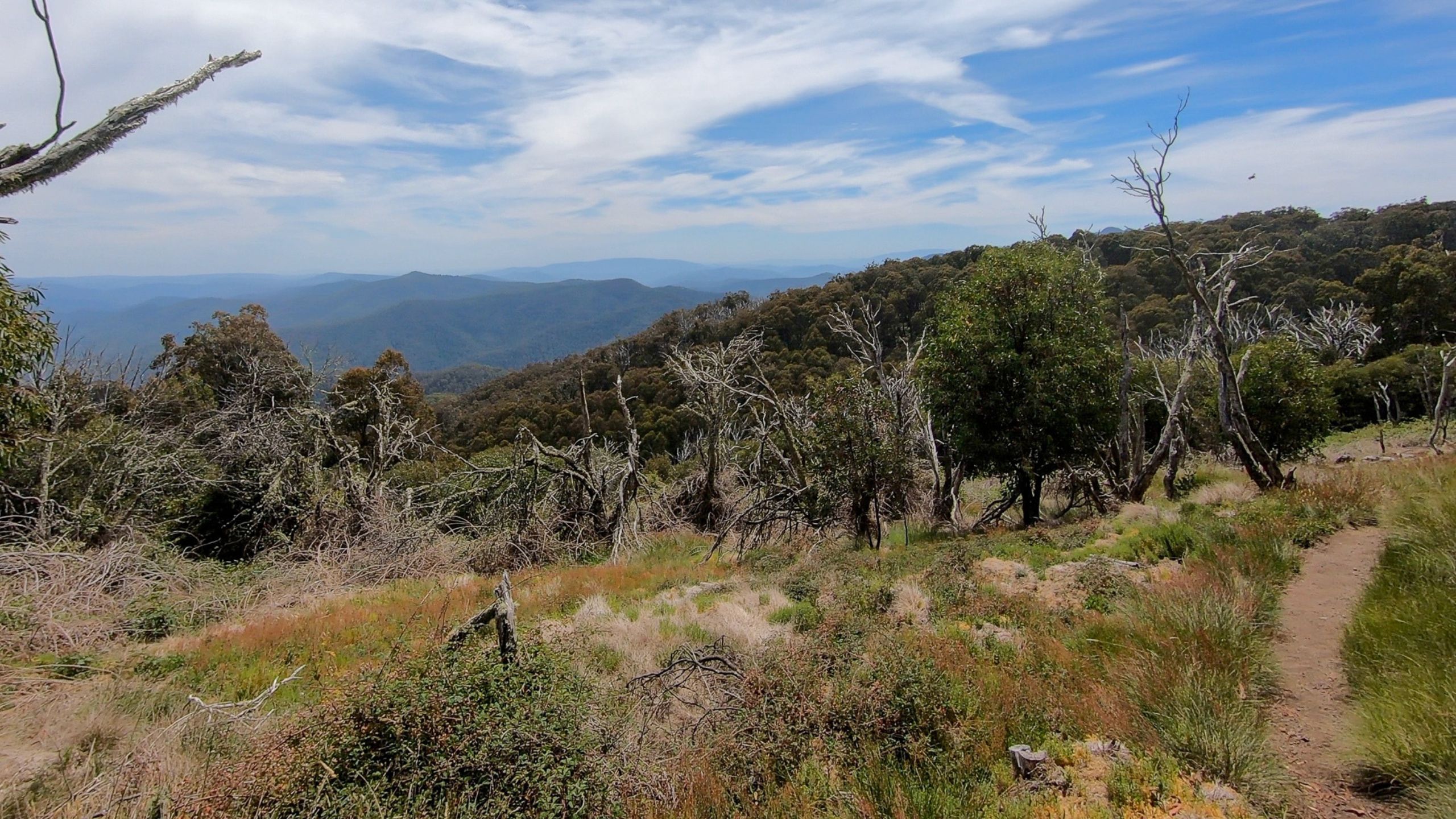
This is where the bitumen ends, and it is all gravel road from here. We visited in the summer and this track at that time was suitable for all vehicles. We did find the road a little corrugated in places and there were a lot of small sharp rocks on the track. The road was easy to navigate, but the drive wasn’t quick. Instead, we took our time, winding through alpine forests and soaking up the Mount Stirling landscape and sweeping views across the Victorian Alpine Region.
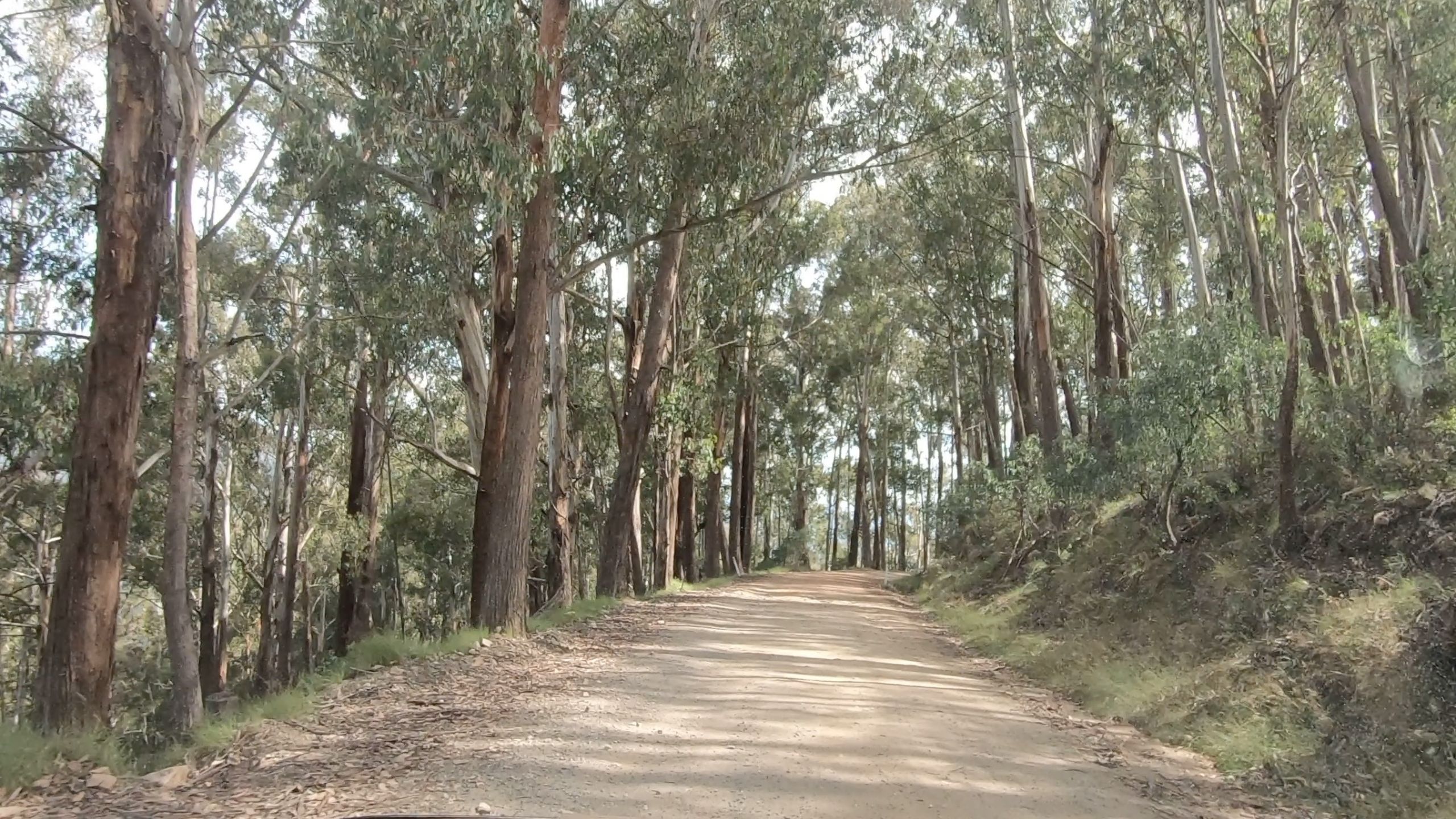
After about 9 km, you’ll reach the Telephone Box Junction. From here, take the road to the left onto Circuit Road Track and Forest Drive. Continue for another 18 km until you reach the Circuit Road Picnic Area, which marks the starting point of the walking track to Craig’s Hut.
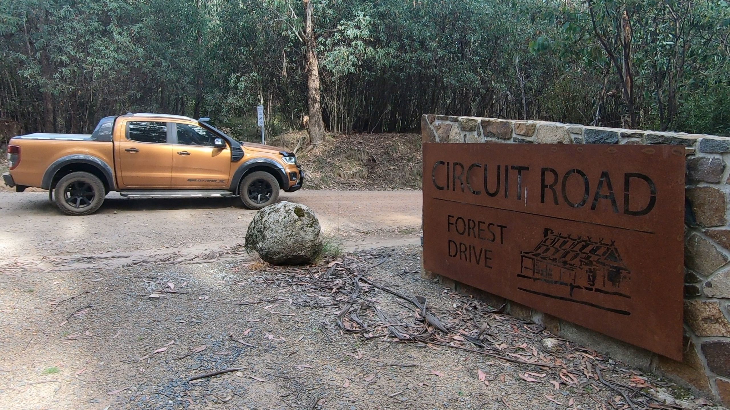
Circuit Road Picnic Area
This small picnic area has space for about 5-8 cars, there are a couple of wooden picnic tables and two unisex long drop toilets. There is also an information board with a map of the Circuit Road Track. Two wheel drive vehicles or those with four wheel drive capability but not wanting to tackle the 4×4 track – you can still reach Craig’s Hut. Park here at the Circuit Road Picnic area and follow the walking track signs to reach Craig’s Hut.
Clear Hills Track (4×4 Only)
Continuing on Circuit Road Track for a further 1km you will come to the turn off on the right for Clear Hills Track – a short four wheel drive track that leads directly to Craig’s Hut – recommended for high clearance 4×4 vehicles only.
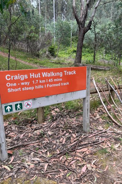
Craig’s Hut Walking Track
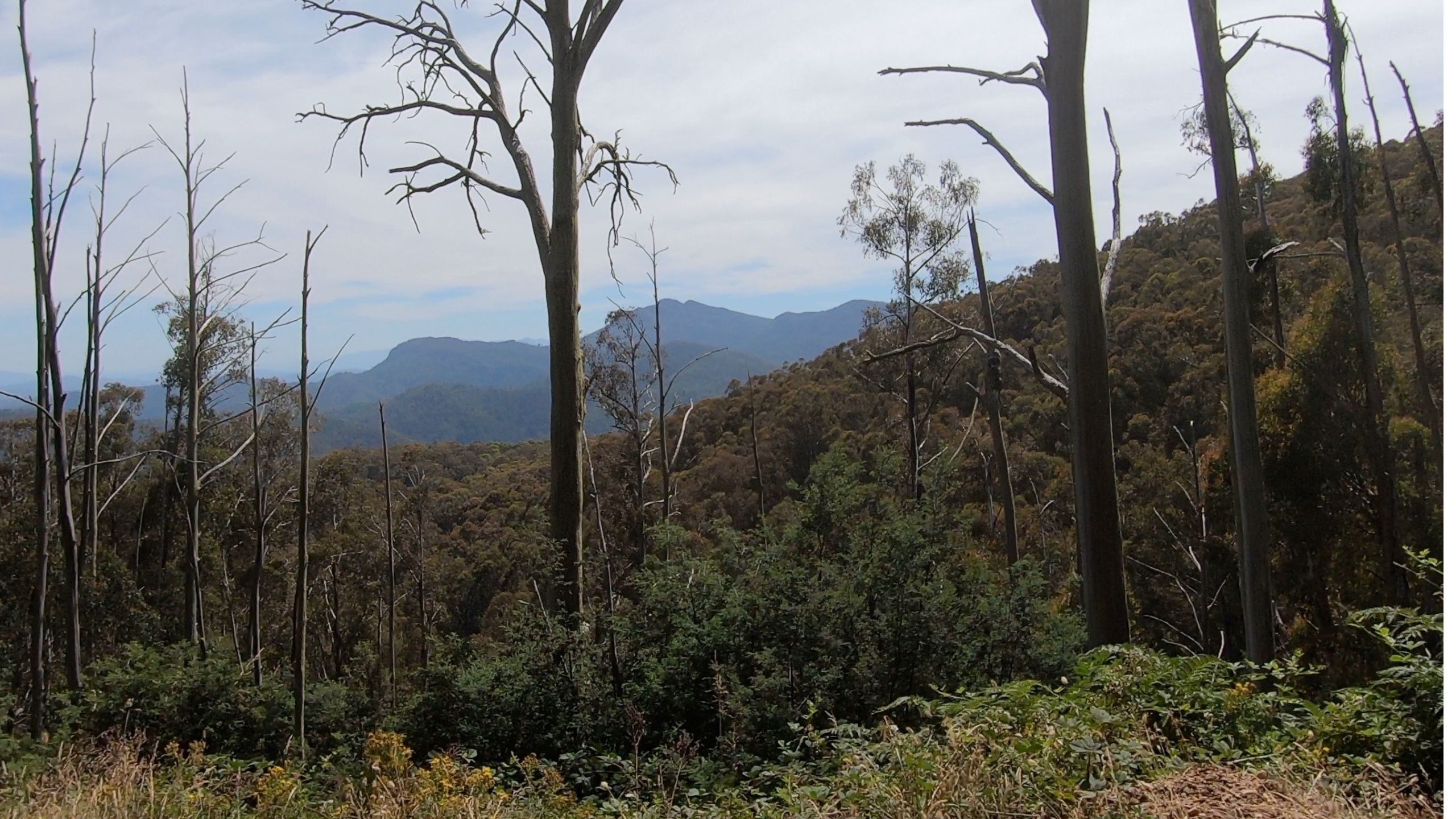
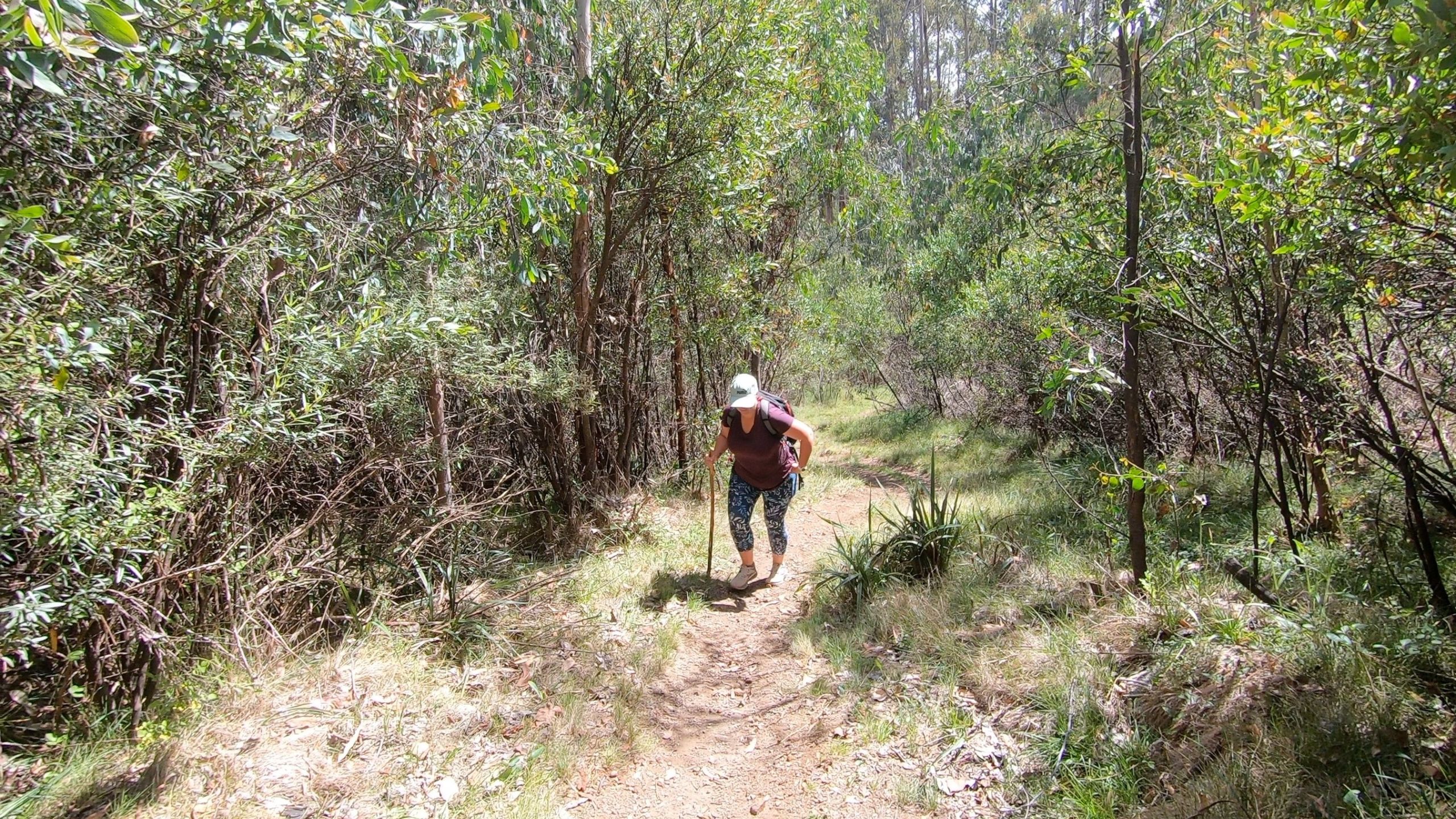
The 1.7 km (each way) alpine walking track is short but steep, winding through the stunning snow gums and offering glimpses of the views across the ranges. We were grateful for the makeshift walking sticks left behind by previous hikers—they came in handy, especially on the steeper sections! While there are sections where the track flattens out, most of the hike is uphill.
The hike took us about 30 minutes to complete and it was well worth the effort. Reaching the end of the track, you are rewarded with Craig’s Hut itself—standing proudly at the top of the hill and with the magnificent alpine backdrop of Mount Cobbler and the surrounding ranges of the Victorian High Country.
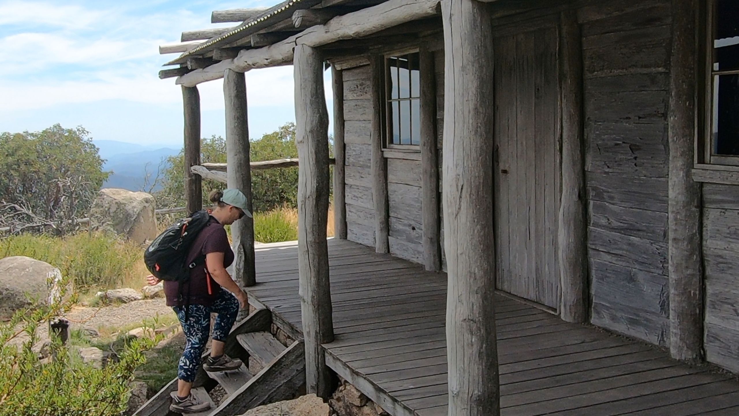
After taking in the amazing views, the iconic hut and taking way too many photos, we made the return journey down the same track. The descent is quicker but be careful of the uneven terrain and loose rocks, especially on the steeper sections. We returned the walking sticks to the collection at the start of the track, paying it forward for the next hikers.
Seasonal Closures
This region is subject to seasonal road closures and if you’re visiting during winter, be aware that the road beyond Telephone Box Junction is closed typically from the June long weekend to early November. For up-to-date information on road and track conditions contact Mansfield Visitor Information Centre on 03 5775 7000.